Location
Eastern Europe, north-east of Romania
Geographic coordinates
45°28’ – 48°28’ N (350 km), 26°40’ – 30°06’ E (150 km)
Area
- total: 33843 km2, 139th
- land: 33371 km2
- water: 472 km2 (main rivers: Danube, Nistru, Prut, Raut; main lakes: Beleu, Bic, Dracele))
Land boundaries
- total: 1389 km
- border countries: Romania — 450 km, Ukraine — 939 km
- coastline: 200 m at the south extreme point (Giurgiulesti) with the delta of the Danube river
Land use
- arable land: 53%
- permanent crops: 14%
- permanent pastures: 13%
- forests and woodland: 9%
- others: 11%
Extreme points
- lowest point: Nistru River, -2 m
- highest point: Dealul Bălăneşti, +430 m
- north point: Naslavcea
- south point: Giurgiulesti
- west point: Criva
- east point: Palanca
Climate
- moderate winters (in January -4 -7 C°)
- warm summers (in July +25 +28 C°)
Terrain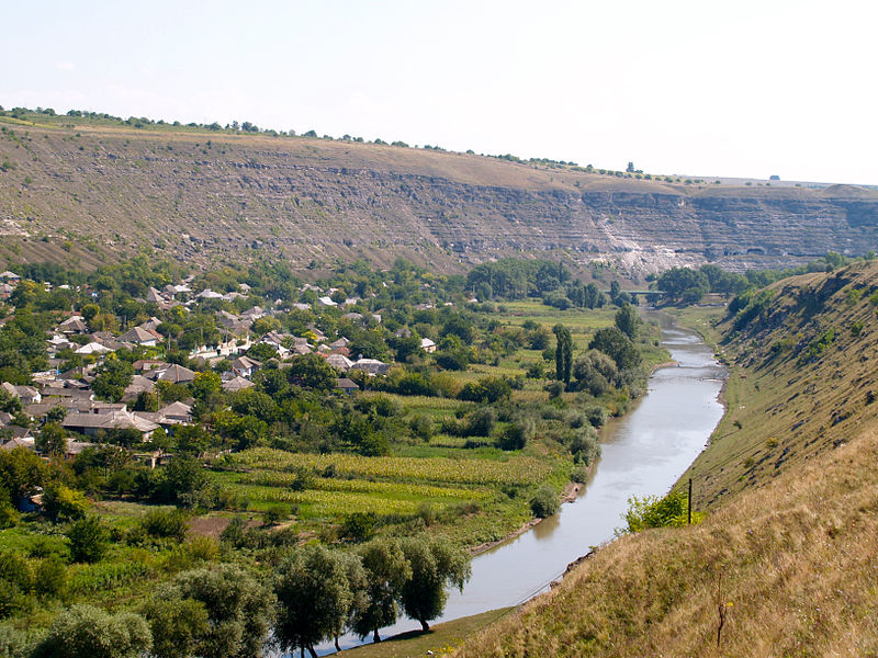
- Hilly steppes in the north & center (Codru), plain in the south (Bugeac Plain)
- Natural resources lignite, phosphorites, gypsum, arable land
Population
- 2008 estimate: 4,128,047
- density: 121,9/km2
Main cities
- Chişinău 723,500 (2012) – Capital
- Tiraspol 148,900 (2011)
- Bălţi 144,300 (2012)
- Bender 93,700 (2011)
- Rîbniţa 50,100 (2011)]
Religion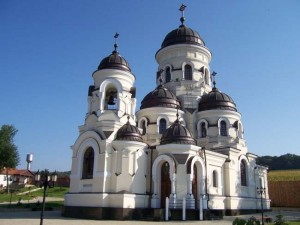
- Eastern Orthodox Christians — 98%
- Judaism — 1.5%
- Baptism & others — 0.5%
Currency
Moldovan leu (MDL) = 100 bani
Time zone
- EET (UTC+2)
- summer — EEST (UTC+3)
Internet TLD
- .md
Calling code
- +373